PR-CU 48 – From Alcarria to the Sierra
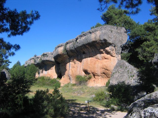
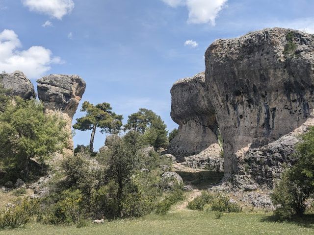
Intricate slopes, dense trees and extensive plains that make a transition between Alcarria and Serranía

A tour of the Alcarria region of Cuenca
We begin our tour in Villar de Domingo Garcia, taking a stretch of paved road that starts right in front of the petrol station located on the N-320. Our direction is south. Shortly afterwards, we reach a crossroads that turns our path into a beautiful circuit. However, it is important to be careful when crossing and walking parallel to the road.
From this point, we turn west, entering the cultivated fields of La Alcarria. After passing a small hill between two hills, We cross the Cañada Ravine and we continue skirting the elevation known as Ribagorda. Along the way, we encounter several crossroads as we move along the The Carrascalejo area, before reaching the old hamlet of Villalbilla, which is currently uninhabited.
We continue ascending through a high area until we reach the N-320, which We cross to reach Sacedoncillo, another hamlet of Villar de Domingo García.
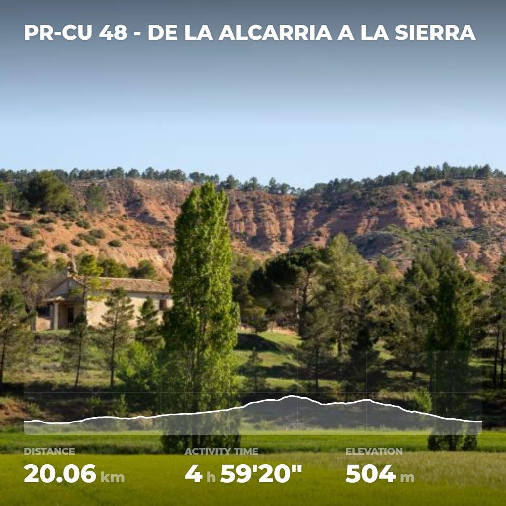
Next, we enter a path that ascends between the Arroyo de Sacedoncillo and the fence of a private property. As we advance, the farmlands are left behind and the oak forest becomes denser.
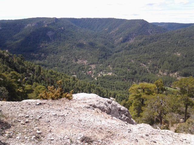
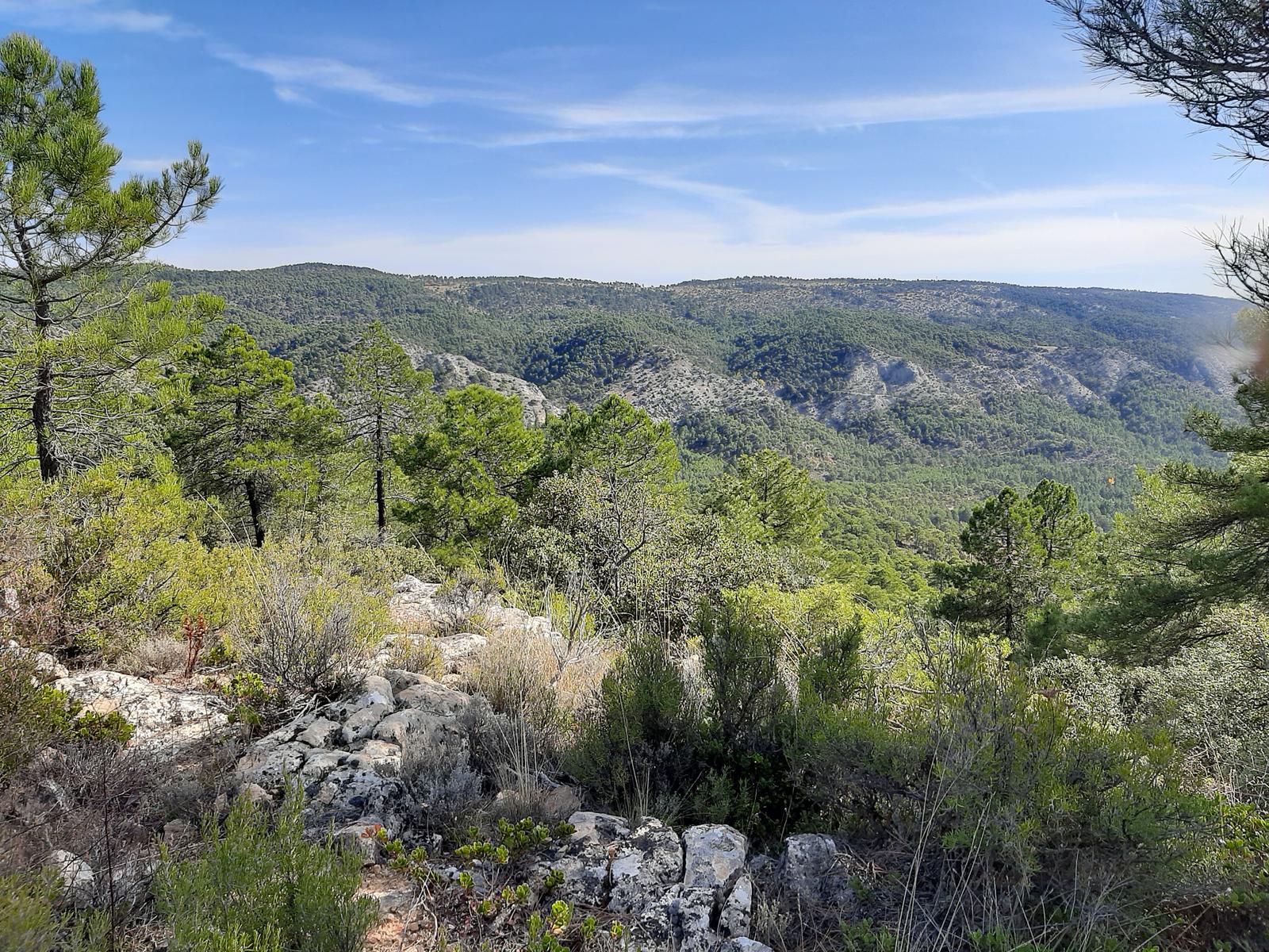
The terrain becomes steeper as we approach Cerro Pelado, which reaches an altitude of 1,264 meters. From this point, the highest on our route, you can enjoy an impressive Panoramic view of the Bascuñana mountain range and the town of Bascuñana de San Pedro.
We begin a gentle descent in a westerly direction, passing through Collado del Puerto and Cabeza Serranos, two points where it is possible connect with PR-CU 41.
We continue descending through the area of Los Gayubares. The end of the forest indicates that we are close to the town. Finally, we cross the N-320 again to return, passing by the Puente Grande, to Villar de Domingo García.
This tour will allow you to experience the transition between two surprisingly different environments: the Sierra and the Alcarria. From intricate, densely forested hillsides to vast, endless plains.
Tips on PR-CU 48 – From La Alcarria to the Sierra
1. What is the best time to do this route?
Spring and autumn are the ideal seasons to take this route, since the weather is pleasant and the landscapes offer a variety of colors and wildlife. However, any time of year offers its own beauty.
2. Is it recommended to bring special equipment for this route?
It is recommended to bring comfortable walking shoes, water, sunscreen and, in winter, warm clothing. The route can be challenging, so it is important to be prepared and take precautions.
Discover unforgettable scenery and natural gems, every corner reveals the authenticity of the Serranía de Cuenca. Here you will find a selection of places you cannot miss.