PR-CU 28 – Las Fuentecillas and Los Callejones Route (PNSC-03)
Dense forests with spectacular panoramic views of one of the jewels of the Serranía
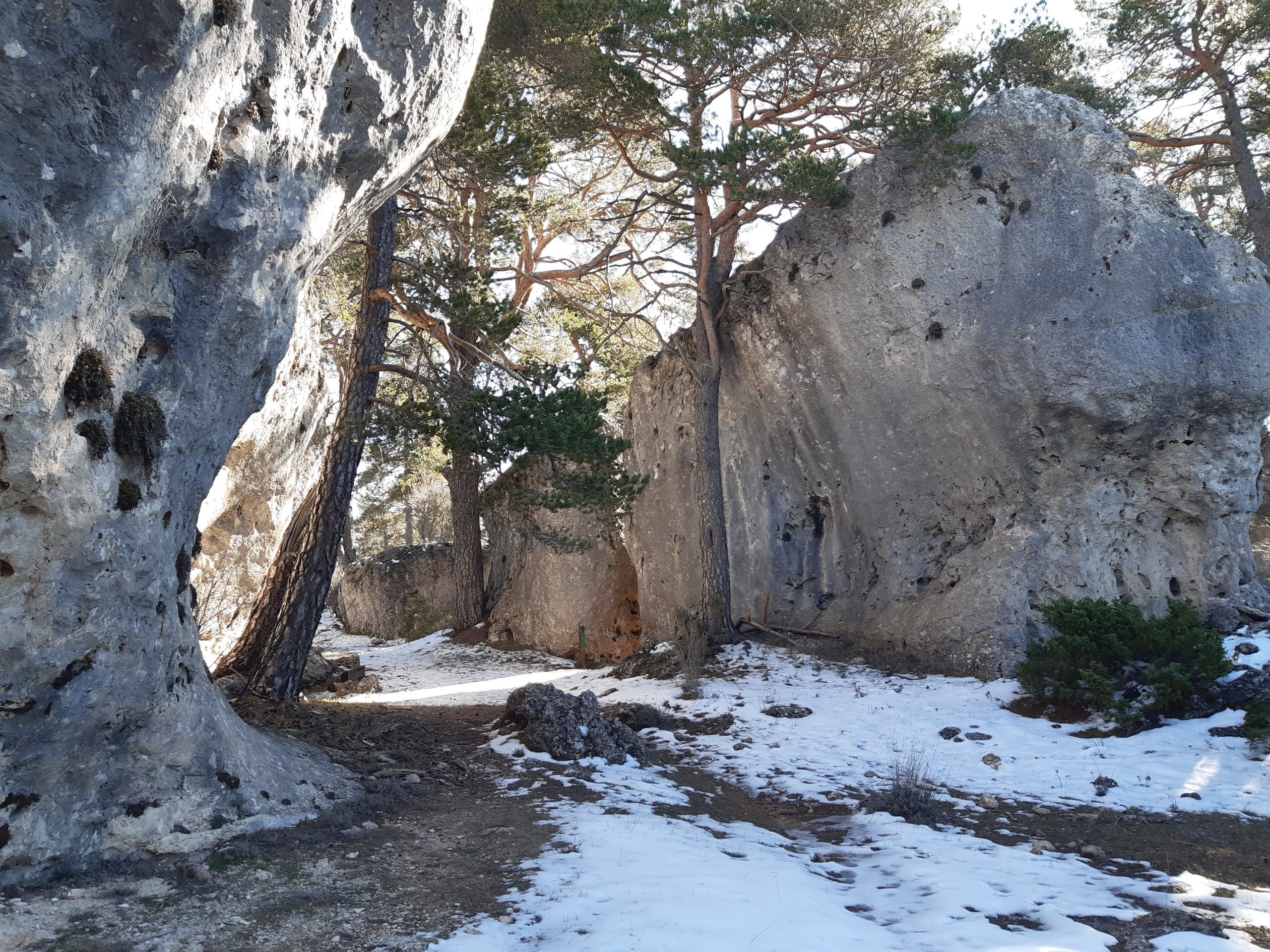
The alleys

Explore Las Fuentecillas and Los Callejones: A Walk through Nature
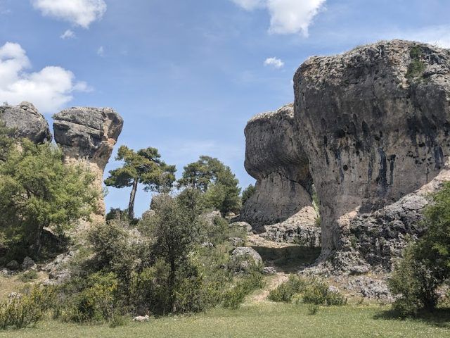
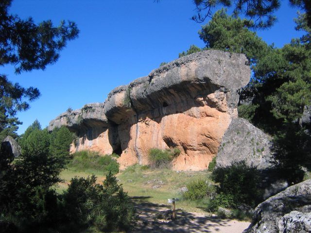
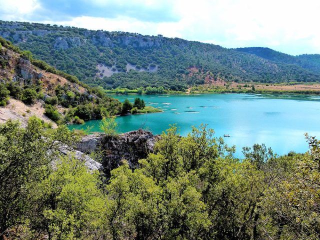
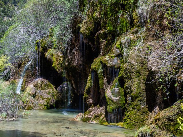
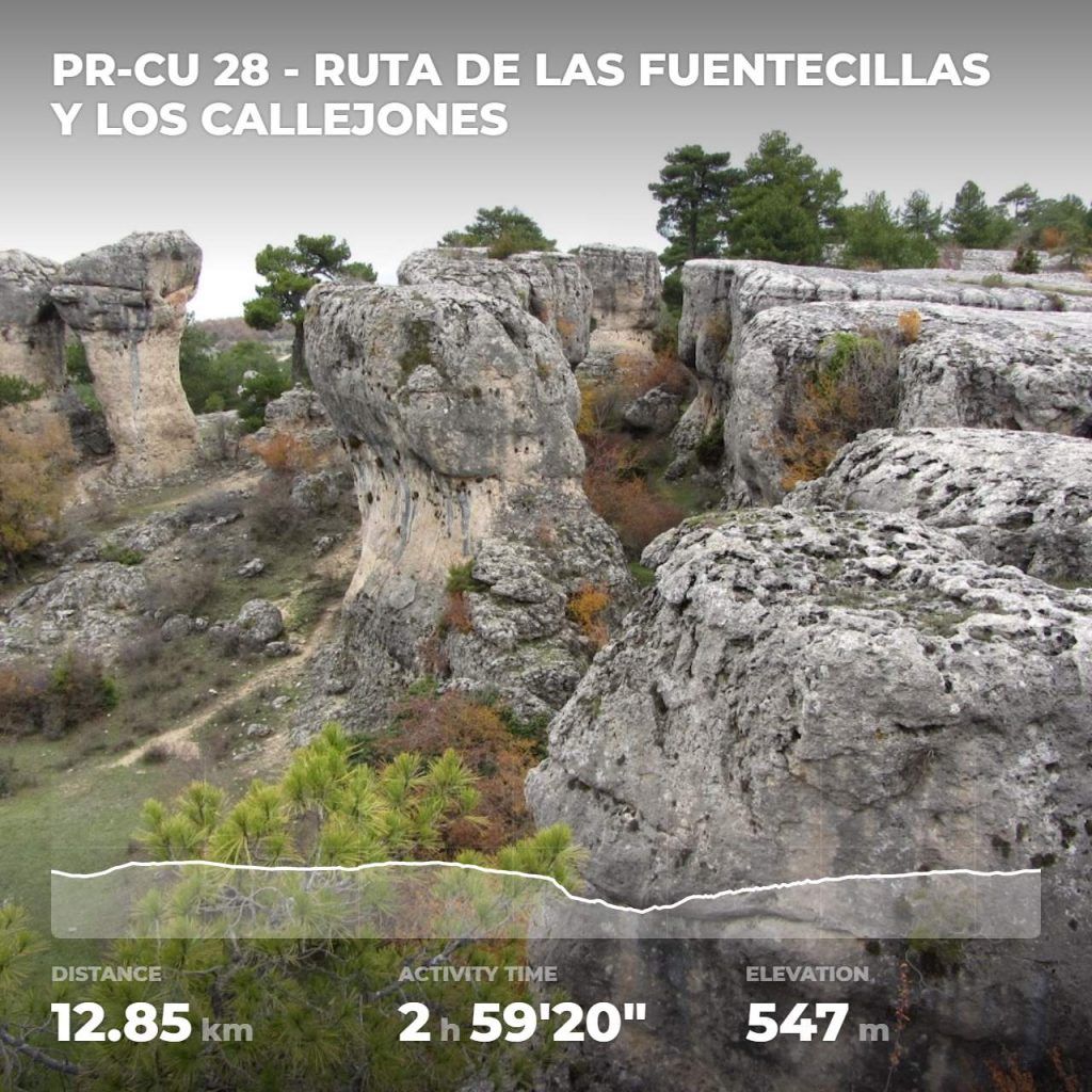
This exciting route will take you into the natural and geomorphological beauty of the Serranía de Cuenca Natural Park. You will walk through lush oak and pine forests, surrounded by rich Euro-Siberian vegetation. Additionally, you will marvel at the impressive cliffs, first under which you will walk and then from above, enjoying spectacular views of the Júcar River valley. The route ends in The Alleys of Las Majadas, known for their whimsical lapiáz formations.
Starting the Adventure
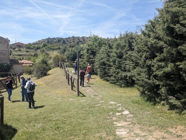
The starting point is in the town of Las Majadas (1,391 m), where you will take the Camino de Valdeasnos. You will cross El Collado and Dehesa Boyal, bordering the Golf Course and the Prado de la Fuente del Rey. Upon reaching the Fuente de La Fuentecilla, the path divides in two. Follow the one on the left, which is the Camino de Uña to Las Fuentecillas (the one on the right leads to Los Huertos de Valdeasnos and El Molinillo). You will continue halfway up the slope along the La Solana de Uña mountain until you reach the Huertos de Royo Frío (1,291 m).
At the Highest
Here I you will connect with the GR 66, which will take you to Los Callejones. You will ascend through the shade of Picón de Royo Frio until you reach the highest part in Royo Frio. Then, you will tour the Finca del Barranco, but this time through the upper part, obtaining a different view of your tour. You will arrive at viewpoint of the Peñón del Tío Cogote and you will continue bordering the muela, this time on a path, until you reach the Los Charcos path, which brings you closer to The Alleys of the Majadas.
A Scenic Walk
For a stretch, you will follow the GR 66, coinciding with the tourist reception area. However, you will leave the GR 66 and continue along the proposed path with signs until you reach La Moratilla, where you will connect with the Callada del Pozuelo road. This path will take you to Puntal del Alto de la Peña and, finally, to Las Majadas.
Frequent questions
1. How long is the walk? The entire hike can take approximately 6-7 hours, depending on the pace and stops.
2. Is it suitable for beginners? Some experience with long-distance hiking is recommended due to the length and variety of terrain.
3. What is the best time to take this tour? Spring and autumn offer ideal weather conditions and exceptional landscapes.
4. What should I bring with me? Be prepared with appropriate clothing and footwear, water, food, sunscreen, and a camera to capture the beauty of the trail.
5. Are there rest areas along the way? Yes, you will find rest areas at various points along the route to enjoy a picnic and relax.
Las Fuentecillas and Los Callejones offer a unique natural experience that combines lush forests, impressive cliffs and whimsical geological formations. Discover the beauty of this natural environment on an exciting tour.
Discover unforgettable scenery and natural gems, every corner reveals the authenticity of the Serranía de Cuenca. Here you will find a selection of places you cannot miss.