PR-CU 24 – Route of the Cerro de La Calera and Los Vallejos. Zarzuela
Enjoy nature and immerse yourself in the landscapes that surround Zarzuela
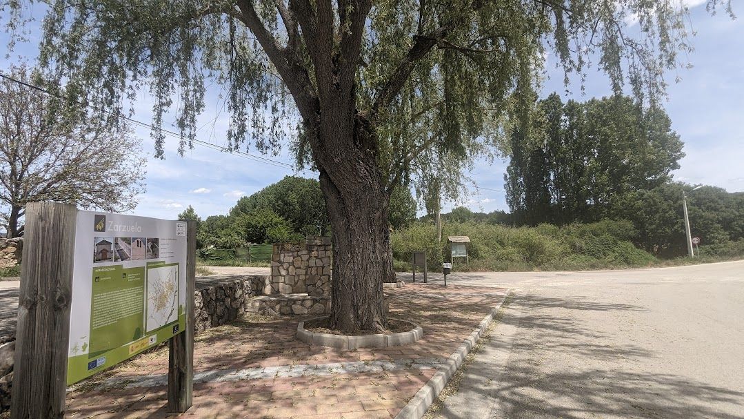

Explore the Cerro la Calera and Vallejos Route in Zarzuela
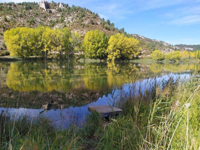
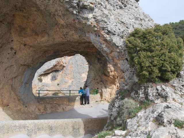
The Cerro la Calera and Vallejos Route is an exciting hiking adventure that will allow you to discover the natural beauty of the Zarzuela environment. This trail will take you through varied landscapes and give you the opportunity to explore picturesque rural areas. Join us on this unforgettable journey!
Starting in Zarzuela
Your adventure begins in Zarzuela, and from here, you begin your journey along the paved road that heads towards Ribatajadilla to the north. Soon, you will take a track to the right that will take you through La Merendilla on flat ground. As you progress, you will be able to enjoy the views of the wide Vega de Zarzuela to your left. To the right, you will leave behind several ravines, such as Valdelbobis, Santa Quiteria, Valtocón and Valdelacasa, which descend from the highest areas that you will visit later on the trail. Gradually, you will begin to gain altitude as you enter the Cañada Honda.
Ascent to El Calahorrano
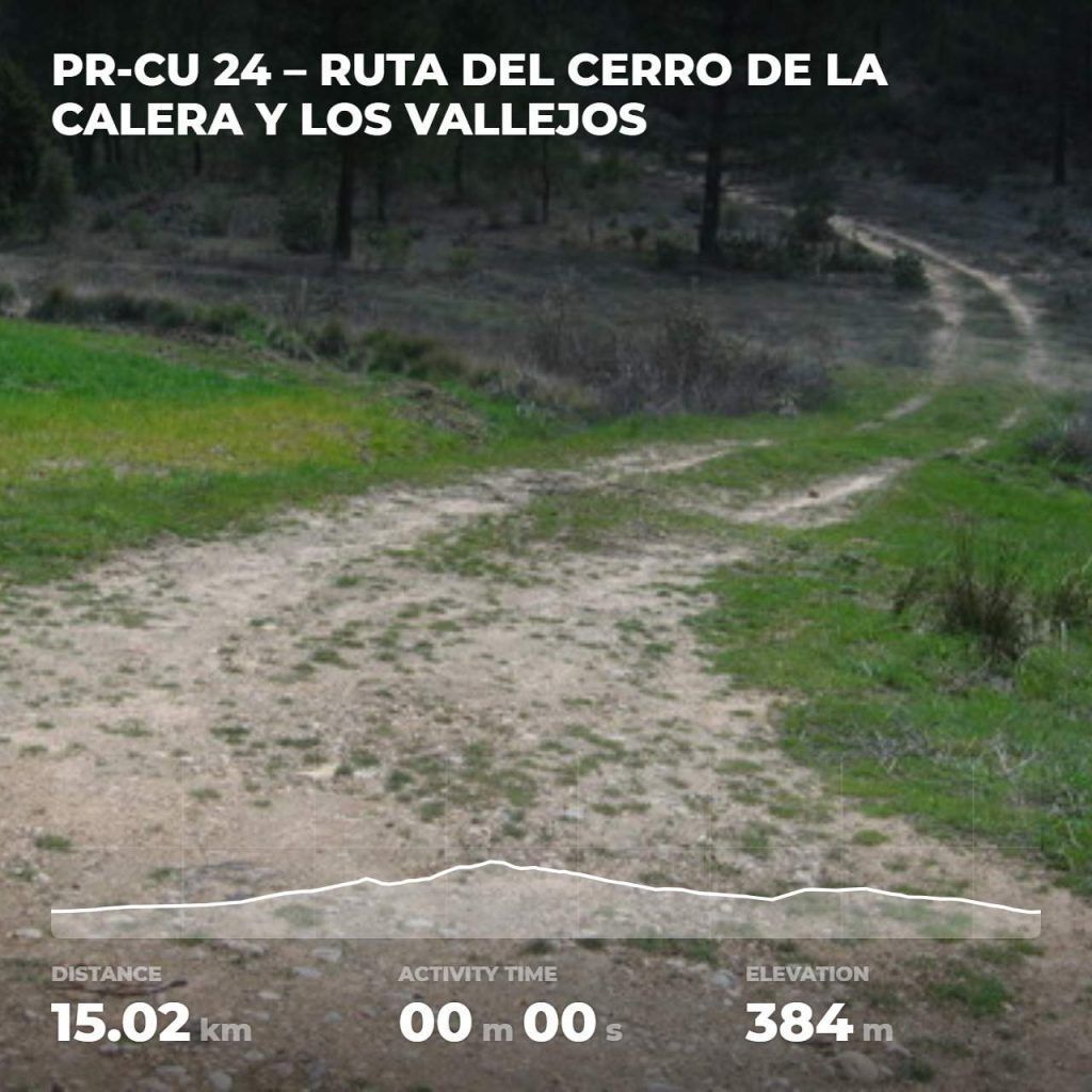
After traveling 5 kilometers, you will find on your left The Tejar, a former tile factory that has been transformed into a shelter and rest area. You will continue towards El Jardinillo, where you will face a steep climb until reaching El Calahorrano, which is the highest point of the route and also a link with PR CU-22.
Descent through Cerro Calera
From El Calahorrano, you will begin a long descent through Cerro Calera until you reach El Rento, the place of birth of the Mariana River. After walking a few hundred meters on flat terrain, you will ascend again and leave the track to follow a poorly defined path that will take you from Puentecillo de Arcos to Los Vallejos, in a stretch of about 500 meters.
Enjoy the Views on the Camino de Majadas
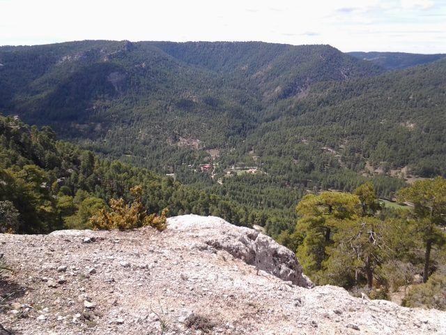
When the climb ends, you will find a clearer path along which you will advance for 1 kilometer, enjoying wide views of the Portilla Valley. Then, you will take the Camino de Majadas, which will guide you back to Zarzuela after a long descent of 3 kilometers. You will end on the Villalba de la Sierra Highway.
The Cerro la Calera and Vallejos Route is an unforgettable experience for hiking and nature lovers. Make sure you bring everything you need for a safe hike and respect local regulations to preserve this beautiful natural environment.
Discover unforgettable scenery and natural gems, every corner reveals the authenticity of the Serranía de Cuenca. Here you will find a selection of places you cannot miss.