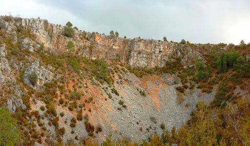
The Serranía de Cuenca is a geological treasure that transports you through time and rock formations. His karst landscape, Sculpted by the action of water on calcareous rocks, it invites you to explore enchanted rock cities, labyrinths and chasms. But the geology here does not stop: folds, faults and erosion effects create amazing structural reliefs.
Cuenca mountain range: an Open Book of Geodiversity
This region is home to unique stratigraphic series that tell the story of sedimentation millions of years ago. The Enchanted City, declared a Natural Site of National Interest, it's just the beginning. Rivers such as the Júcar and Trabaque sculpt impressive river canyons, while caves and chasms reveal a fascinating underground world.
The Hoces of the Júcar River: Witnesses of Erosion
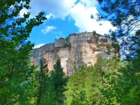
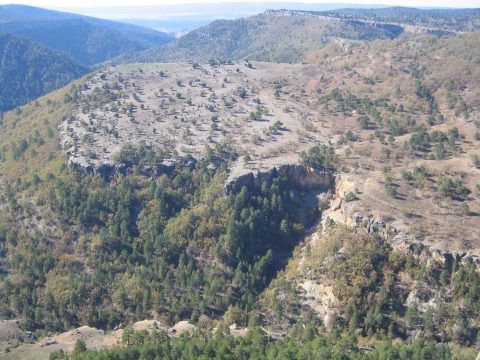
The impressive Sickles of the Júcar River They are a testimony of the tireless work of erosion on the limestone rocks of the region. Over millions of years, the flow of the river has sculpted deep canyons, revealing geological layers that narrate the evolution of the mountain landscape.
The Júcar River, which runs through the Natural Park, forms a narrow canyon with escarpments that exceed two hundred meters unevenness, especially in the section between the Toba Swamp and Villalba de la Sierra. Rivers like the Trabaque and the Escabas They present spectacular escarpments and give rise to embedded valleys delimited by rock cliffs.
Palancares and Dead Land
Declared a Natural Monument, these places immerse you in a unique geological spectacle of twists and sinkholes, creating a surreal scenario of sinking. The tuffs and travertines, testimonies of the action of underground water, add a layer of mystery to this extraordinary corner. Explore this natural monument and let yourself be captivated by the geological richness.
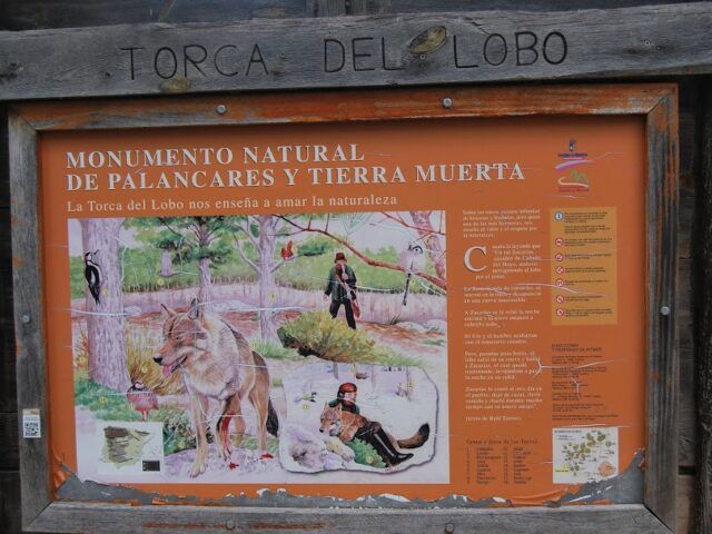
Exploring the Natural Monument of Palancares and Tierra Muerta Welcome to a unique corner of nature in the heart of the province of Cuenca. The Palancares and Tierra Muerta Natural Monument, a place that has been a silent witness to millions of years of geological evolution and…
View moreThe Tilted Strata of the Enchanted City: An Open Air Museum
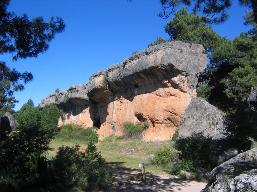
The Enchanted city, with its extraordinary rock formations, offers a unique window into the geology of the Serranía. Here, sloping limestone strata create whimsical landscapes such as arches, spiers and erratic blocks, result of geological processes such as sedimentation and subsequent uplift of these rocks.
Short and easy trail
Easy
Time: 1:30 h
3km
Circular
The Karst of the Guadiela River
Along the Guadiela River, the action of water on the limestone rocks has sculpted a surprising landscape. This river course, protagonist of four Natural Monuments, immerses itself in the heart of calcareous nature, creating imposing canyons and sickles that reach dizzying heights, exceeding two hundred meters of elevation in some sections.
These monuments are authentic geological witnesses, revealing the rich history of the region marked by the predominant presence of limestone and dolomite. These rocks, composed mainly of calcium carbonate, offer a unique visual spectacle and testify to the powerful influence of water in the formation of this exceptional natural environment. Immerse yourself in the karst of the Guadiela River and discover the fascinating mark that water has left in this land of geological wonders.
- Torcas of Lagunaseca
- Serrezuela de Valsalobre
- Pinilla Grinding Wheel and the Prop
- Sickle of Beteta and Sumidero de Mata Asnos
Karst Rocks: Caves and Underground Formations
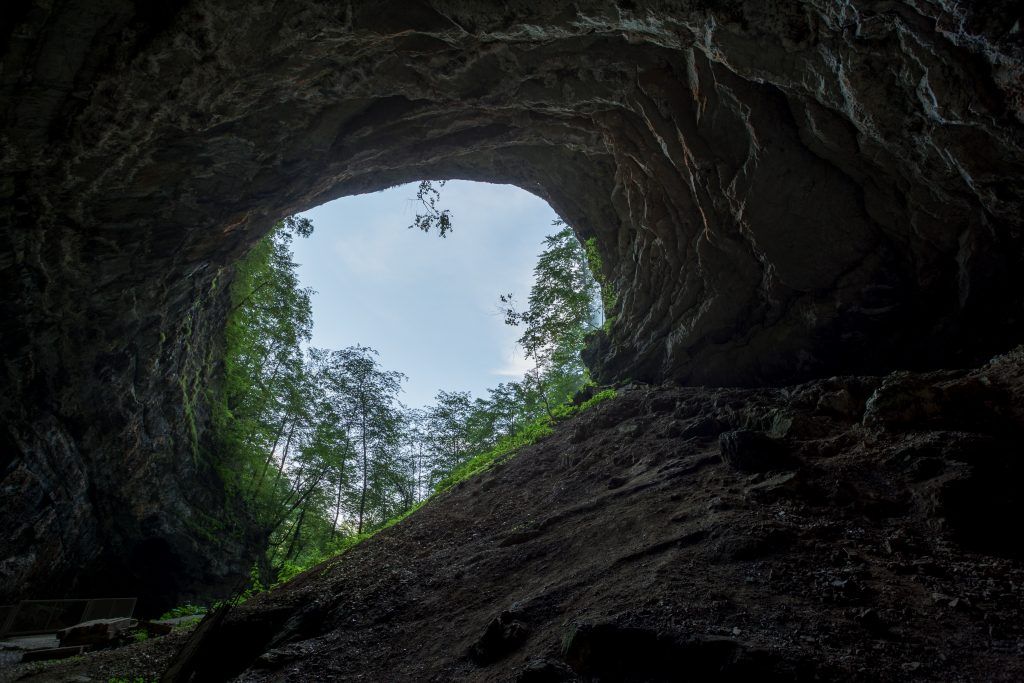
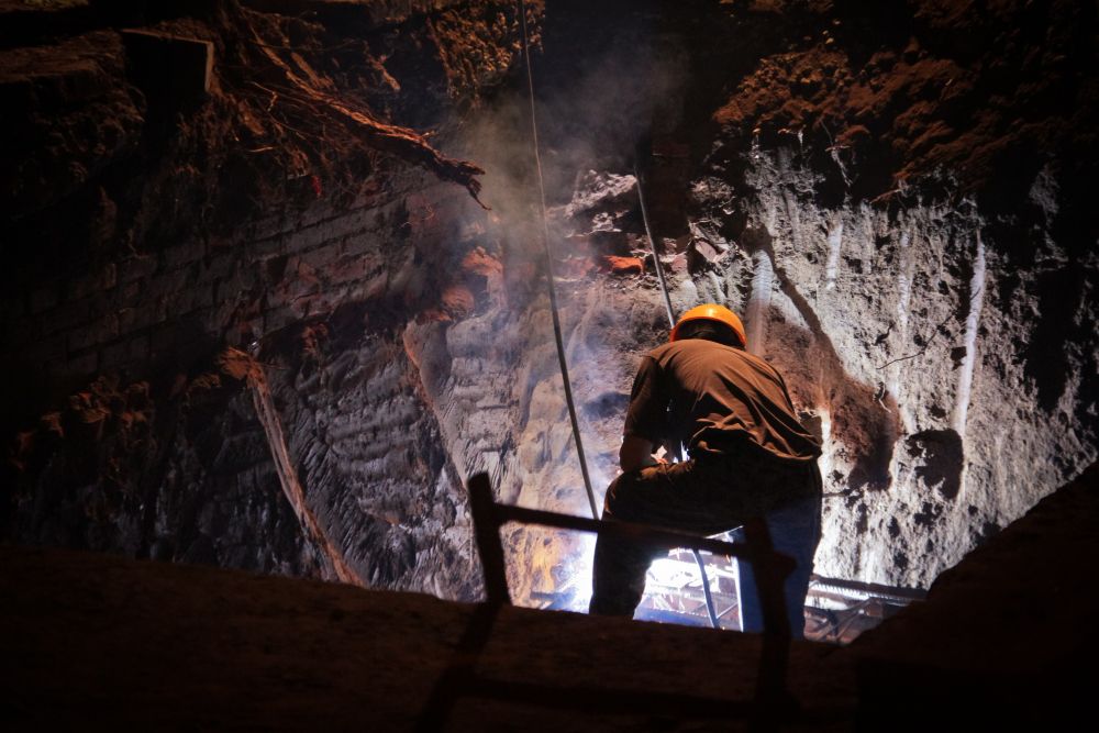
The dissolving action of water on limestone rocks has led to the formation of extensive underground karst systems in the Serranía de Cuenca. Caves and grottoes, like the Whore's Cave wave Serpentine Cave, reveal the intricate network of passages created by chemical erosion, providing a fascinating glimpse into the region's subsurface.
Georoutes
For those who still want more, there are different geological itineraries through the Serranía de Cuenca, which in the absence of promotion and signage, are perfectly valid to marvel at the capricious rock formations that these high altitude landscapes give us.
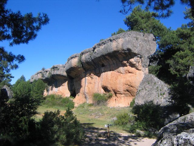
The Enchanted City: Wonders of Nature and Geology Discovering the Geological Wonders of the Enchanted City The Enchanted City, located in the district of Valdecabras, in the heart of the Serranía de Cuenca Natural Park, is a natural treasure that amazes those who have the privilege of visiting it….
View more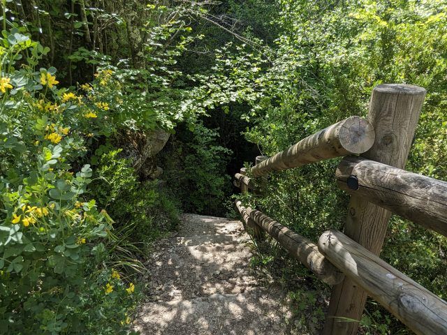
An immersion in the botanical and geological beauty of the Hoz de Beteta Botanical Trail. Delve into this botanical route along the river canyon sculpted over millions of years by the Guadiela River. Discover the Hoz de Beteta Botanical Trail, whose start can be from…
View more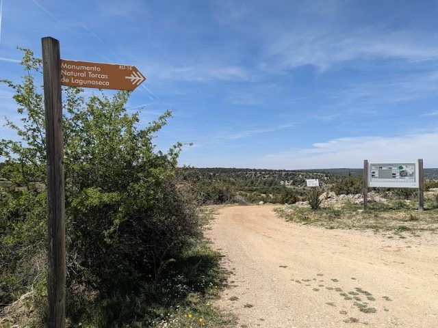
A tour in the middle of impressive karst formations If you want to enter an impressive karst landscape and discover the natural beauty of the Torcas de Lagunaseca, you are in the right place. Here we present an interpretive trail that will take you to explore this exceptional environment. A circular route This exciting…
View more