PR-CU 35 – Los Ceños Trail
An adventure through the geological wealth of the Cuenca mountain range

Discover the Natural Wonder of the Ceños Trail in Palomera
Are you ready for an exciting outdoor adventure? The Trail of the Frowns in Palomera will take you through spectacular scenery and immerse you in the beauty of nature. We offer you a detailed description of this fascinating route.
Exploring the Huécar River
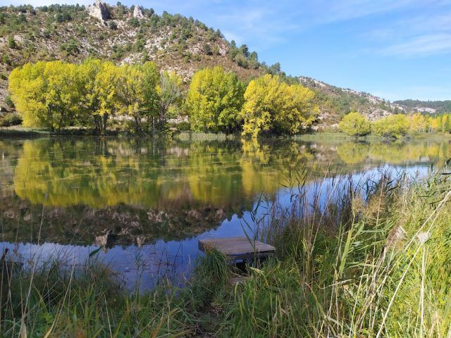
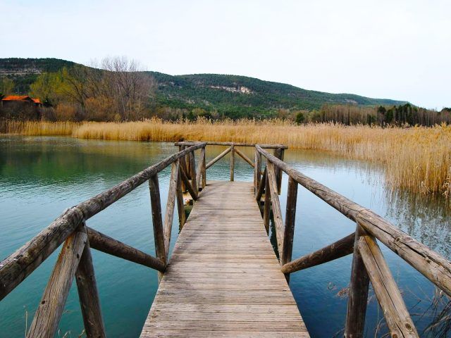
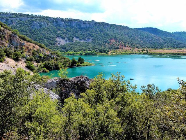
Our journey begins in Palomera, where we enter a path that follows the right bank of the Huécar RiverThis winding path will take us through a narrow crevice, following the course of the river. On both sides, you will see steep slopes and vertical limestone rock faces, formed by water erosion over millennia. Today, what prevails is a calm watercourse that will dominate the first part of our journey.
As we move forward, we will reach a track near the source of the Huécar River, in a area known as El Bodegón. At this point, the GR 66 Trail It separates from our path, since it has followed the course of the Hoz del Río from Cuenca in the direction of the Torcal de Los Palancares.
A World of Ravines
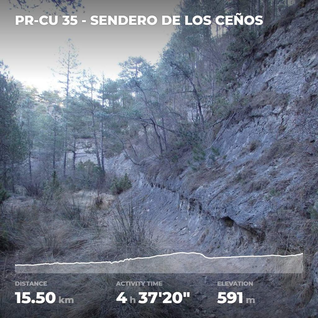
We continue along a path that runs parallel to the Arroyo de la Rambla. The ravine of this stream narrows as we advance, forcing us to face a steeper climb to go around it. Then, we reach a track in an area near Los Ceños, in the upper part of the Barranco de la Rambla.
We leave the narrow rocky passages to enter more open and elevated areas. The climb continues along a track, where we walk along a fenced area, in a much more open area, until reaching the Mirador del Ceño, the highest point of our trail, 1,322 meters above sea level. From here, you can enjoy a breathtaking view Panoramic view of the Dehesa de Cotillas and Tierra Muerta.
Descent and Exploration
Then, we begin to descend sharply along a path that coincides with the layout of the Royal Cuenca Trail, until we reach Barranco de los Caballeros. The rest of our route continues along a track as we enter an area of pine forests that cover the surrounding gentle slopes and mountain meadows that exude charm.
We passed by the Dehesilla Refuge, which used to be a stopover and shelter for Mesta cattle. Finally, we leave the pine forests behind and cross a treeless area until we reach Buenache de la Sierra.
Back to Palomera
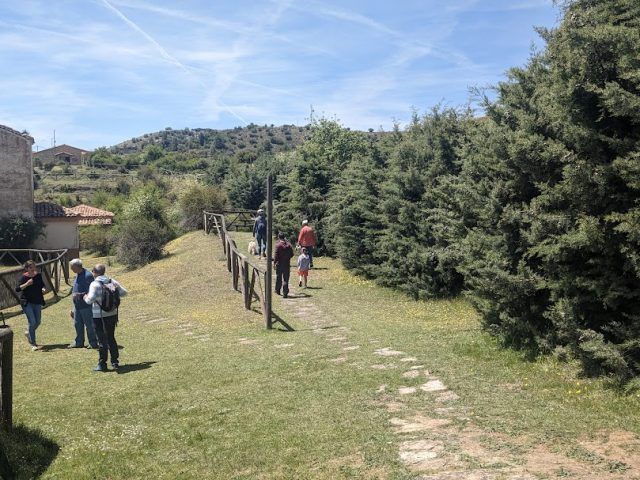
Walking along the track, you will see large meadows without trees, but soon we will immerse ourselves in an area of great charm, where mountain meadows and pine forests alternate covering the surrounding slopes.
From Portillo del Tabaco, we continue along a track until we reach Mirador del Ceño, the highest point of our trail. Afterwards, we walk along a fence for a few hundred metres before beginning a long descent to the end of our route.
When you reach Los Ceños, it is time to leave the track and follow a path that is part of the PR CU 35 Trail towards Palomera.
Exploration in Gorges and Ravines
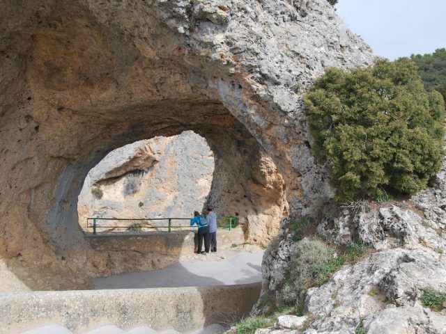
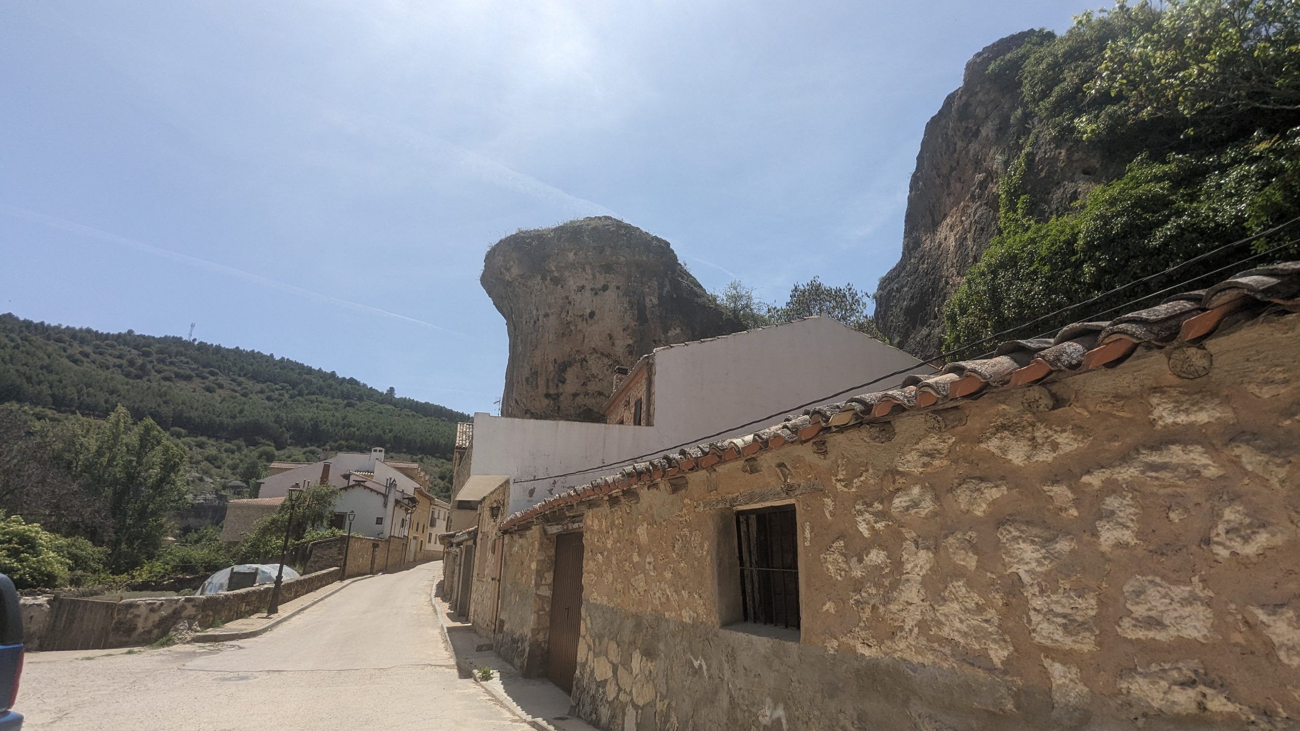
Entering this new stage of the trail, we will enter impressive gorges and ravines bordered by steep slopes and rocky cliffs carved by large masses of water over thousands of years. These natural elements have revealed whimsical petrified shapes in the rock.
The descent begins steeply, but eases off as we move along the Barranco de La Rambla, following the winding course of the stream.
Last stretch, return to Palomera
The path becomes a track again, but only for a stretch, until we reach the source of the Huécar River in the area of El Bodegón. At this point, the GR 66 Trail joins the PR 35 Trail again, which will take us back to Palomera.
Get ready for an exciting adventure that will immerse you in the geological and scenic richness of the Ceños in Palomera.
Discover unforgettable scenery and natural gems, every corner reveals the authenticity of the Serranía de Cuenca. Here you will find a selection of places you cannot miss.